Mingyi He, Northwestern Polytechnical University, China
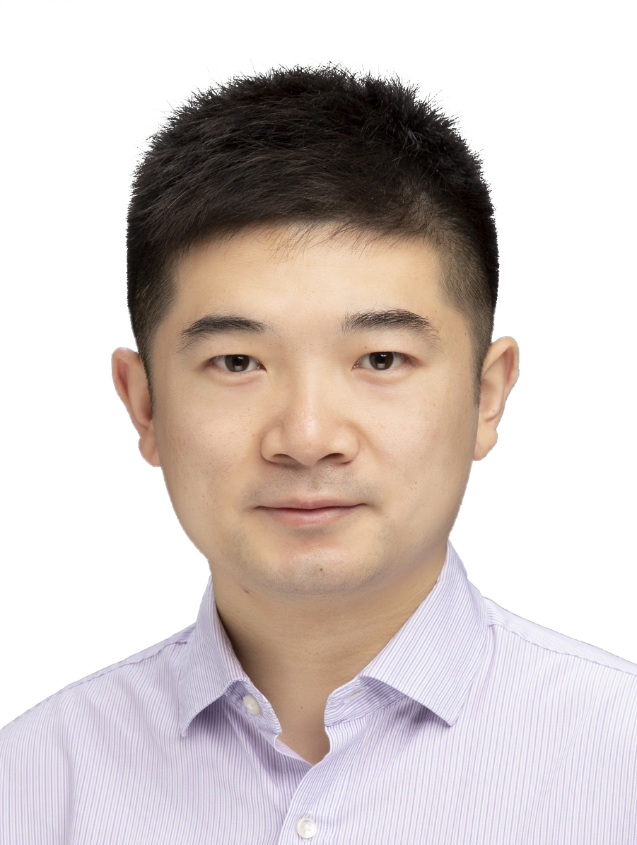
Mingyi He, CIE Fellow, CSIG Fellow, Vice president of APSIPA, Professor of Northwestern Polytechnical University (NPU).
Dr He received his B.E. degree and M.E. degree from NPU in 1982 and 1985 respectively, and Ph. Degree in 1994 from Xidian University. Since 1985, he has been with the Department/School of Electronics and Information, NPU, where he has been a full professor since 1996 and appointed as a Chief Professor of signal and information processing (SIP) in 1998. He was the department chair of electronics and information engineering (2003-2012), the founding director for IAP (Information Acquisition and Processing) of Shaanxi Key Lab and director of IAP international research center, director and chief scientist of NPU Center for earth observation research. He was visiting professor of Adelaide university and Sydney university, Australia. His research interests focus on advanced machine vision and intelligent processing, including signal and image processing, computer vision, integrated image and graphics processing, hyper-spectral remote sensing, 3D information acquisition and processing, and neural network artificial intelligence. Prof. He is the recipient of 2012 CVPR best paper award, 2017 APSIPA best deep/machine learning paper award. He has obtained 11 scientific prizes, 3 teaching prizes from China (ministry and province government). He is a recipient of the government lifelong subsidy from the state council of China in (1993--), 2012 Scientific Chinese, 2017 Baosteel outstanding teacher award. He also received awards from the IEEE Signal Processing Society in 2014, APSIPA in 2019, the Chinese Institute of Electronics in 2018 and 2020, China Remote Sensing Committee in 2023. He has acted as the general chair or the TPC (co)chair for a number of international conferences. He had addressed a number of keynote talks or invited plenary talks. He is/was an Associate Editor or guest editor for IEEE TGRS, IEEE Jstars, APSIPA T-SIP, RS, JIG, SP etc.
(Onsite Talk) Speech Title: Integrated Image and Graphic Intelligent Processing via Hyperspectral Multi-viewing
Image and graphical information accounts for about 80% of the information perceived by human beings. Image processing and graphical processing have become predominant in information processing, which are also two important aspects in the fields of machine vision and graphics. Image processing primarily involves techniques and methods for imaging, analyzing, enhancing, and improving images. It entails manipulating image data to enhance image quality, extract information, improve visual effects, and assist in discriminating or understanding observed objects with physical properties. Graphics processing, on the other hand, focuses on the points, lines, surfaces, volumes, lighting, and their interrelations within image data, primarily involving the generation, editing, and display of 2D and 3D graphics. Although both fields rely on computers and graphic displays for operation, there are significant differences in content, technology, and purpose, and they have traditionally been studied separately. In specialized applications such as aerospace engineering, there is an urgent need to investigate the integrated geometric relationships (graphics) and physical properties (images) within image data for complex 3D reconstruction and object recognition.
This report presents the research and practice of the speaker’s team in recent years in the integrated observation of graphics (geometric information) and images (physical information), 3D scene reconstruction, and intelligent processing of images and graphics. This talk includes the research background, multi-view 3D geometric information acquisition, hyperspectral physical information acquisition, learning-based integrated intelligent processing of hyperspectral multi-viewing images, and applications. This work reflects the refinement of addressing significant engineering development technologies to fundamental scientific problems, encompassing relevant scientific discoveries and the establishment of innovative theoretical methods, showcasing a successful case of “from 1 to 0” research in integrated image and graphics processing. Further topics in the area are also discussed.
Ruigang Yang, IEEE Fellow
Shanghai Jiao Tong University, China
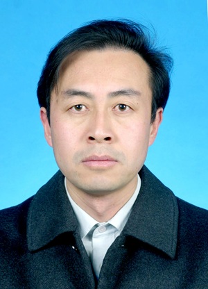
Ruigang Yang is currently a full professor at Shanghai Jiaotong University China. He received his Ph.D. in Computer Science from the University of North Carolina at Chapel Hill in 2003. He has received a CAREER Award from the National Foundation of the United States. He was a tenured professor in the Department of Computer Science at the University of Kentucky, and the director of the Robotics and Autonomous Driving Laboratory at Baidu Research Institute. Dr. Yang has published more than 150 papers in top journals and conferences in the field of computer vision and graphics, including IJCV, IEEE T-PAMI, SIGGRAPH, CVPR, and ICCV, with more than 20,000 Google Scholar citations and an H-index of 74. His primary research areas are in computer vision, robotics, and AR/VR. He is a Fellow of IEEE.
(Onsite Talk) Speech Title: Overcoming the Sim2Real GAP: Real2Sim2Real, with applications to Autonamous Driving
A huge obstacle for AI, in particularly embodied AI, is data, collecting interaction data at the scale comparable to text is formidable. As such, many researchers aim to use simulation data to mitigate the data problem, however, the domain gap between simulation and real scene is still difficult to overcome in many embodied AI tasks. We propose a different solution: Real2Sim2Real, that is, we aim to capture real world data, virtualized it in simulation to generate many varities, then apply the learned policy in the real world. It possesses the authenticity in the real world with the diversity simulation can generate. We show its applications in autonamous drivng.
Hui Kong, University of Macau, China
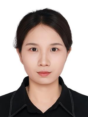
Hui Kong is with the State Key Laboratory of Internet of Things for Smart City (SKL-IOTSC), the Department of Electromechanical Engineering (EME), and the Department of Computer and Information Science (adjunct) of the University of Macau (UM). Before that, he was affiliated with NJUST, MIT, Ohio State University, Ecole Normale Superieure (ENS), Paris, France. He obtained his Ph.D. degree (2007) from the School of Electrical and Electronic Engineering, Nanyang Technological University (NTU), Singapore. His research areas are sensing and perception for autonomous systems, mobile robotics, SLAM and multiview geometry in computer vision, etc. His research has been supported by the Science and Technology Development Fund of Macau (FDCT), the National Natual Science Foundation of China (NSFC), and several robotics companies. He serves as an associate editor of the International Journal of Computer Vision (IJCV) and the International Journal of AI and Autonomous Systems (AIAS). He also serves on the Editorial Board of the Journal of Sensors.
Speech Title: Autonomous Robotic Mapping in Urban Environments
Abstract: In this talk, I will introduce a few recent trials in my team on autonomous robotic mapping in urban environment. First, I will present a local robotic exploration method in a totally unknown environment based on graph gain. Next, I will give a robotic mapping scheme guided by global prior information (e.g., Openstreetmap or OSM) to deal with the issues that exist in the local exploration methods. OSM-guided robot mapping approaches usually fail to achieve complete coverage of the whole environment when prior global information is not available in some areas. Therefore, I will introduce a drone-aided OSM completion method to generate a full OSM map for ground-robot mapping. For robotic mapping, map representation is extremely important where the map's memory consumption and representation ability of the environment are the vital factors for the reusability of the map. In the last part of the talk, I will talk about a map representation approach. To conclude, autonomous robot mapping in a totally unknown environment is very challenging. However, mapping efficiency and accuracy can be significantly boosted given some prior global information.